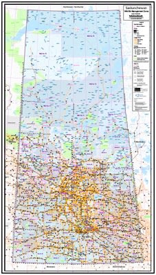
This aesthetic Saskatchewan base map covers the entire province at a scale of 1:1,000,000. This easy to read wall map depicts places (cities, towns, villages, unincorporated areas), rivers and lakes, primary roads, parks, military and native reserves. The map also shows the DLS (dominion land survey) grids with the townships and sections along with a one degree Geographic (latitude and longitude) grid. This map also includes the WMU grid.
